


|
John Bubb |
|
|


|
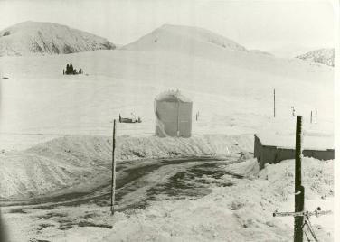
BMEWS Antennas and TACAN Facility from Upper Camp |
|
The distance from Upper Camp to BMEWS was approximately 5 miles by road.
The four tropospheric scatter “billboard” antennas are visible in this picture as is the feed horn for one of the larger antennas. The two 120-foot antennas on the left transmitted and received signals from Hopedale. The two 60-foot antennas on the right communicated with Resolution Island.
The small black mark on the snow at the far left of the frame just above centre is the TACAN facility. TACAN for TACtical Air Navigation was used for military aircraft navigation purposes. Planes interrogating the station could obtain their bearing to the station and their distance from it. |